Year Erected: 1953
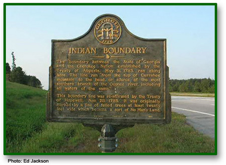
Marker Text: The boundary between the State of Georgia and the Chereokee Nation established by the Treaty of Augusta, May 31, 1783, ran along here. The line ran "from the top of Curahee mountain to the head, or source, of the most southern branch of the Oconee river, including all waters of the same."
The boundary line was re-affirmed by the Treaty of Hopewell, Nov. 28, 1785. It was originally marked by a line of felled trees at least twenty feet wide, which became a sort of No Man's Land.
Tips for Finding This Site: Southbound lanes of U.S. 441 just north of intersection with Old Hwy 441 N in Homer.
