 Year Erected: 1953
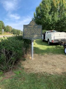
Marker Text: This line, sometimes called "The Four Mile Purchase Line," was the boundary between Georgia and the Cherokee Nation from 1804 to 1818. It was established when Georgia bought a four mile strip from the Indians so as to take in Wofford's Settlement on Nancytown Creek. James Blair was agent for the government, James Vann and Katahahee for the Cherokees.
It formed the boundary between Jackson Co. and the Cherokees; later Franklin Co. and the Cherokees, and is now the line between Habersham and Banks Counties.
Tips for Finding This Marker: On US 441, 2 mile south of intersection with US 23 in Baldwin.