Biographical Resources
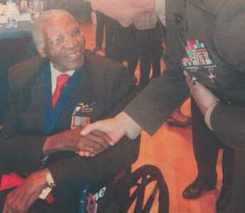
History Snapshot: Matthew Southall Brown, Sr.
Biographical Resource
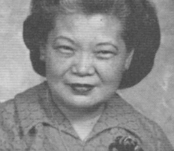
History Snapshot: Lancy T.C. Sheng Wu
Biographical Resource
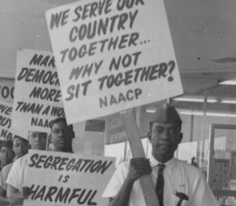
History Snapshot: W.W. Law
Biographical Resource

Flannery O’Connor
Biographical Resource
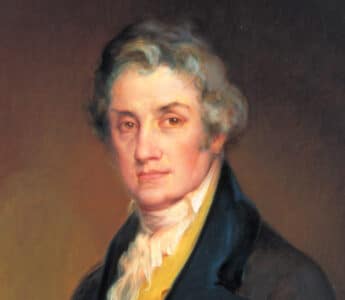
Abraham Baldwin
Biographical Resource
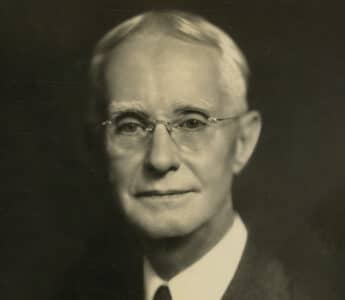
Charles Herty
Biographical Resource
Mary Musgrove
Biographical Resource
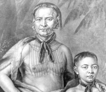
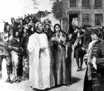
Tomochichi
Biographical Resource

James Edward Oglethorpe
Biographical Resource
Button Gwinnett
Video and Audio
Casimir Pulaski
Biographical Resource
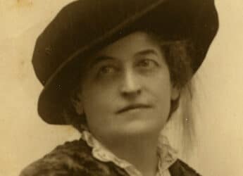
Juliette Gordon Low
Biographical Resource