Year Erected: 1961
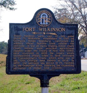
Marker Text: Three hundred yards east of this point stood Ft. Wilkinson, established in 1797 on Georgia's Indian boundary. Garrisoned by soldiers whose families lived outside the stockade, it was an early trading house where Creek Indians were provided agricultural supplies under the Treaty of New York (1790). Here occurred in 1802 the treaty which extinguished Indian titles to land westward to Commissioner’s Creek, which area was in the first Georgia land lottery in 1805. In 1807, the garrison was moved to Ft. Hawkins on the Ocmulgee River, following the expanding perimeter of Indian land cessions.
Tips for Finding This Marker: At the intersection of Carl Vinson Highway (Georgia Route 112) and Fort Wilkinson Road, on the left when traveling south on Carl Vinson Highway in Milledgeville.

