Year Erected: 1961
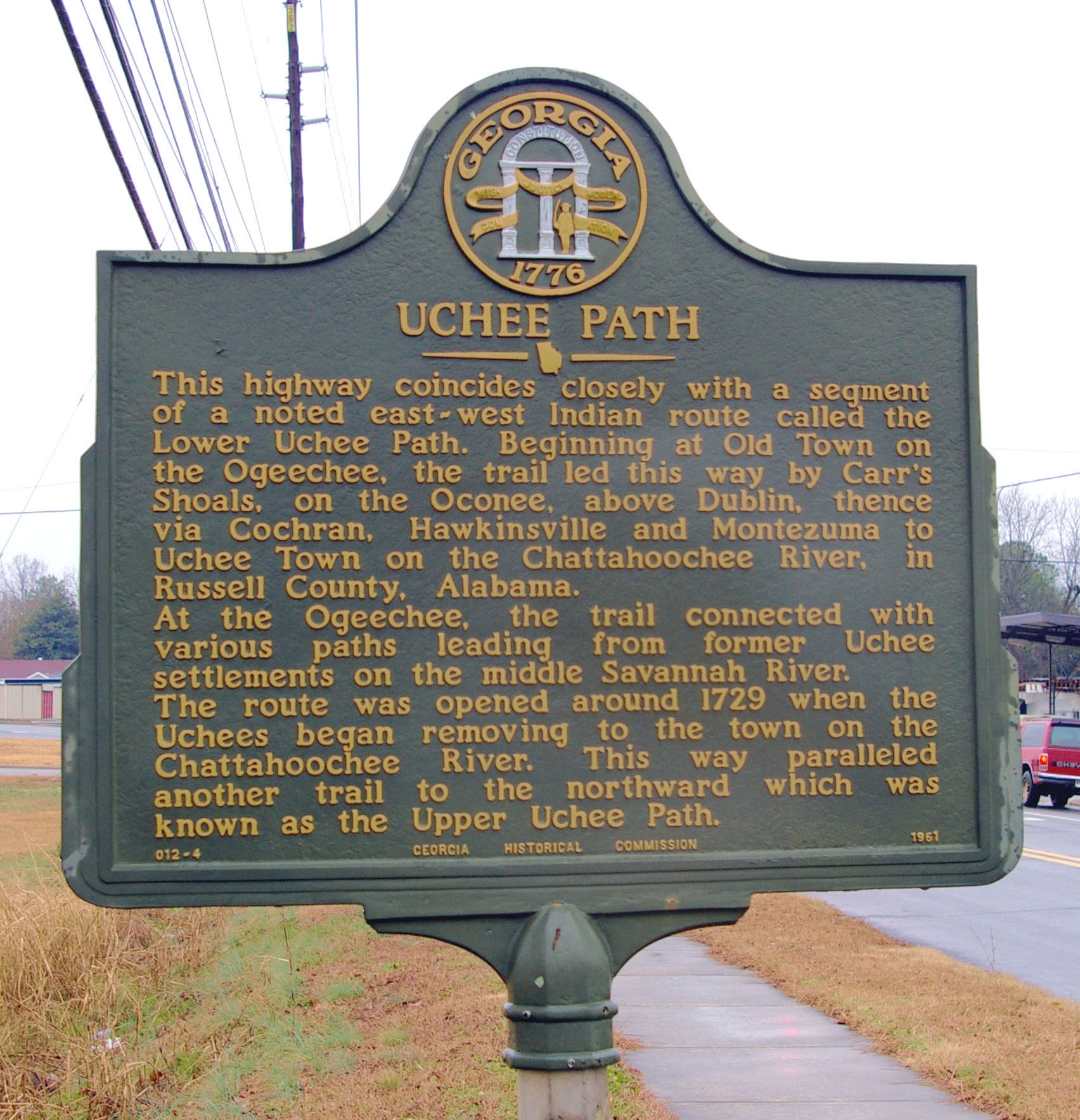
Photo credit to David Seibert
Marker Text: This highway coincides closely with a segment of a noted east-west Indian route called the Lower Uchee Path. Beginning at Old Town on the Ogeechee, the trail led this way by Carr’s Shoals, on the Oconee, above Dublin, thence via Cochran, Hawkinsville and Montezuma to Uchee Town on the Chattahoochee River, in Russell County, Alabama.
At the Ogeechee, the trail connected with various paths leading from former Uchee settlements on the middle Savannah River.
The route was opened around 1729 when the Uchees began removing to the town on the Chattahoochee River. This way paralleled another trail to the northward which was known as the Upper Uchee Path.
Tips for Finding This Marker: Just past the intersection of 8th St. and Dykes St. when heading northeast in Cochran.